
Rediscovered Catawba Camp and Revolutionary War Stronghold Just North of Charlotte, NC
Hidden in plain sight and nearly lost beneath modern development lies what may be one of the most critical and forgotten sites of the American Revolution in the South. Just north of Charlotte — nestled between the Sugar Creek battlefield and Cowan’s Ford — a remarkable series of features have been found:
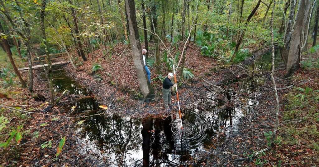
🪨 Photo Evidence:
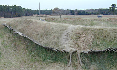
Earth Works
Slopped hills
Strategic location at highest point of the north south east west cross roads where the British could be trapped.
A working stone bowl still in place, embedded into a large granite outcropping — a signature of Catawba tribal craftsmanship.
🌳 Land Markers:
A crooked, unusually bent tree towering 150 feet tall, likely used as a trail marker or boundary sign, consistent with Indigenous trail-tree methods.
🪨 Engineered Stonework:
Massive linear-cut stone features visible just beneath the leaf litter — strongly suggestive of intentional shaping, not natural erosion.
🪖 Proximity to Revolutionary Sites:
This camp lies directly in the line of Revolutionary War troop movements. Families such as the Alexanders, Torrences, and others occupied nearby homesteads. This site was perfectly situated on the Great Wagon Road, guarding the gateway between Philadelphia, Charlotte, and Charleston.
🦅 Lost Stronghold, Reawakened:
British cavalry plates, period artifacts, and Native American signs all converge here — at what may have been a combined Native–Patriot defensive camp, now partially buried beneath apartment complexes.
🛑 LOST FOREVER: A Revolutionary War Fort Erased Before It Could Be Proven
Just north of Charlotte, NC — at a historic crossroads between Cowan’s Ford, Sugar Creek, and the old Great Wagon Road — stood what may have been one of the last unrecognized Patriot strongholds of the American Revolution.
🪖 Fortified Earthworks. Indian Camps. British Cavalry Plates.
I found it. I walked it. I lived next to the Alexander family land where it stood. I’ve seen the carved rock bowls, the Catawba tree markers, and the buried stone walls. The site had every sign of an Indigenous-Patriot defensive camp — positioned perfectly to block British movement from the north.
📦 But now it’s gone. Bulldozed.
Replaced by an apartment complex. The full fort and hillside were stripped and leveled. The topsoil — rich with artifacts — hauled off to an unknown destination. What should have been protected is now paved over.
📸 What remains:
- A working stone bowl carved into bedrock
- Crooked “trail marker” trees still standing
- Hidden stone alignments buried nearby
- Oral history from descendants and neighbors
- My images, maps, and accounts